Archives de catégorie : archéologie

Boat Survey: Kifanlo several technics comparison

Kifanlo part1

Presentation

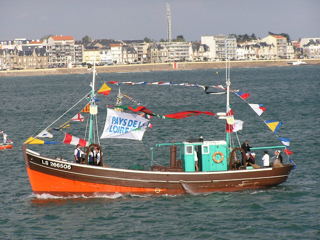
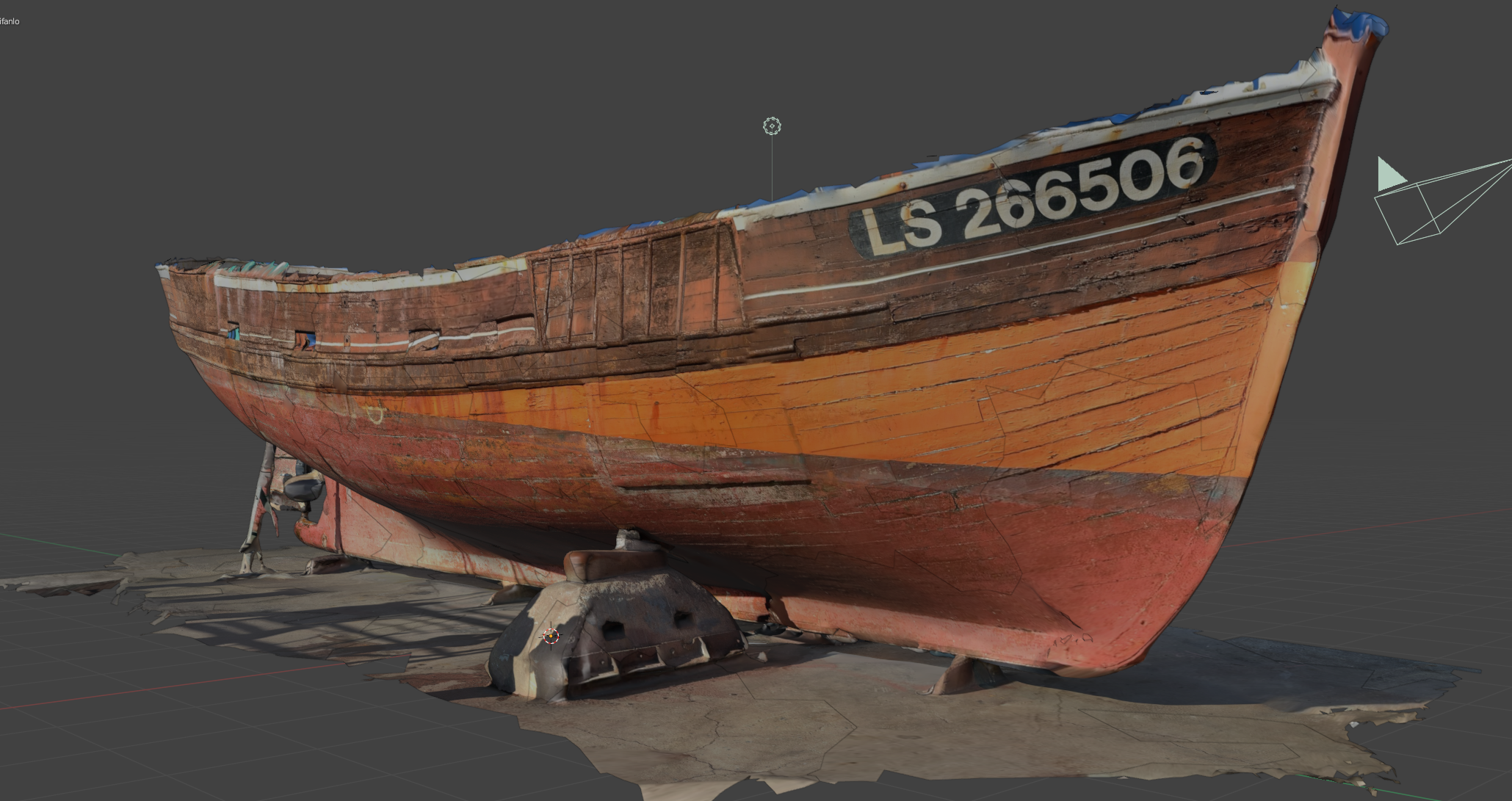
Built in 1955 in Les Sables d’Olonne, the KIFANLO was classified as a historical monument in 1984. She is one of the 16 identical hull trawlers launched by the Batifort shipyard between 1945 and 1957. The Kifanlo is a tuna trawler made of wood with mixed propulsion. She is 16.37 metres long, with a tonnage of 27.51 tons, and is equipped with a 120 hp Poyaud engine. (more at https://oceam.org/presentation-du-kifanlo)
Le Kifanlo fête ses 60 ans | Le Journal des Sables

https://actu.fr/pays-de-la-loire/les-sables-d-olonne_85194/le-kifanlo-fete-ses-60-ans_9405650.html

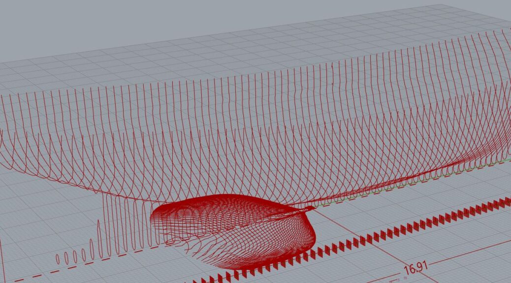
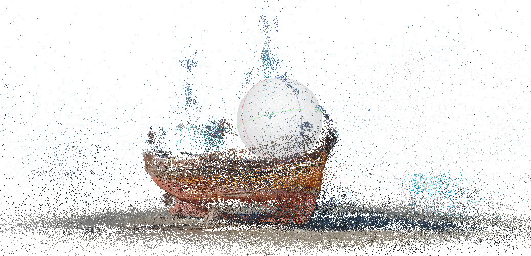
The boat is being restored, and before any action, we conducted a photogrammetric survey. Continuer la lecture de Boat Survey: Kifanlo several technics comparison

Protogrammetry From Drone Survey

Goal

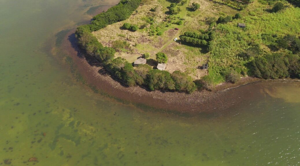
When information about a site is not available, it is interesting to make a survey by drone to realize a photogrammetry. The photogrammetry will allow to build a 3D model and to extract the necessary information to understand the site.

The preparation of the drone flight is essential. The flight must be able to cover the entire site from different angles. Otherwise, there would be deformations or missing information.

The example presented here presents the workflow for creating a 3D model from an aerial film shot with a drone and the processing of the data for further work.

Here, the drone was forced to work in sections. Here are the different views. The work to come will be to assemble the 3D file fragments. Continuer la lecture de Protogrammetry From Drone Survey

Atlas de la grotte Chauvet-Pont d’Arc

VOLUME 1 DE LA MONOGRAPHIE DE LA GROTTE CHAUVET-PONT D’ARC

Ce premier volume de la Monographie de la grotte Chauvet-Pont d’Arc présente l’inventaire raisonné des informations contenues dans la grotte sous la forme d’un atlas. Ce type d’ouvrage peut paraître inhabituel pour présenter un site orné. Néanmoins, les dimensions de la grotte, la morphologie des salles et des galeries qui compartimentent son espace ainsi que l’inscription des œuvres pariétales dans le paysage souterrain sont autant d’invitations à penser, travailler et structurer l’ensemble des connaissances par une approche cartographique.

Continuer la lecture de Atlas de la grotte Chauvet-Pont d’Arc