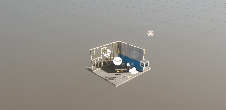
This tutorial aims to facilitate the creation of a solar path, ensuring accurate determination of the sun’s position, orientation, and altitude. This precision is invaluable for architectural design, enabling architects to optimize building orientations for solar efficiency. Additionally, it serves as a tool for verifying the solar orientation of heritage sites.
This approach enables the precise tracing of solar paths and orientations throughout history. Various software tools and methods exist to determine the position of the sun at any point in the past, making it particularly valuable for archeoastronomy purposes.
We will use Beegraphy, the online Grasshopper for that.
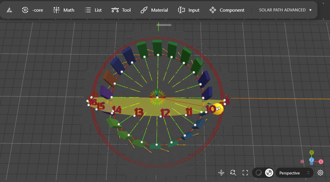
Is this tutorial we will learn how to
- Retrieve environmental data
- Create a list and convert string to text, degrees to radians
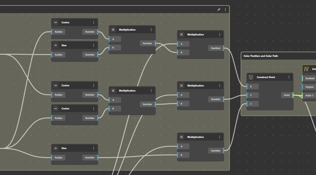
- Convert polar coordinates to Cartesian coordinates
- Construct la curve by interpolating points
- Create and place a text
- Create a sequence to have a print a series of numbers at a specific location
- Create a loft and add colours
- Edit groups and component for further public use
- Testing a small simulation.

